
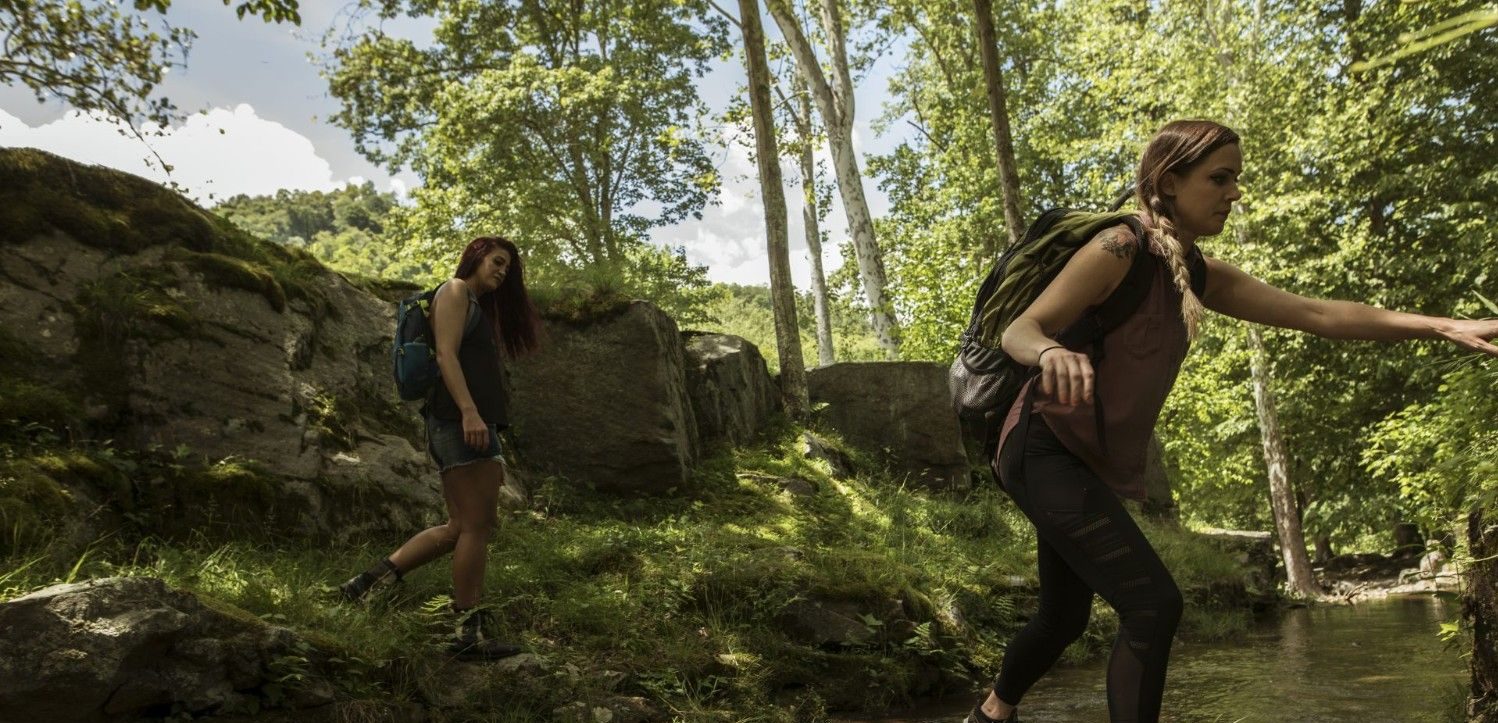

Marion County may be small in size, but it’s filled with hiking opportunities at all corners of the county. One minute you’re standing in a vast wooden area with unmarked trails and the next you could be starting your hike with rushing waterfalls in the distance. For those willing to lace up their boots and explore, the hiking trails offer solitude and a rich tapestry of wildflowers, native plants and thick forested areas that shift with the seasons.
Dents Run Wildlife Management Area
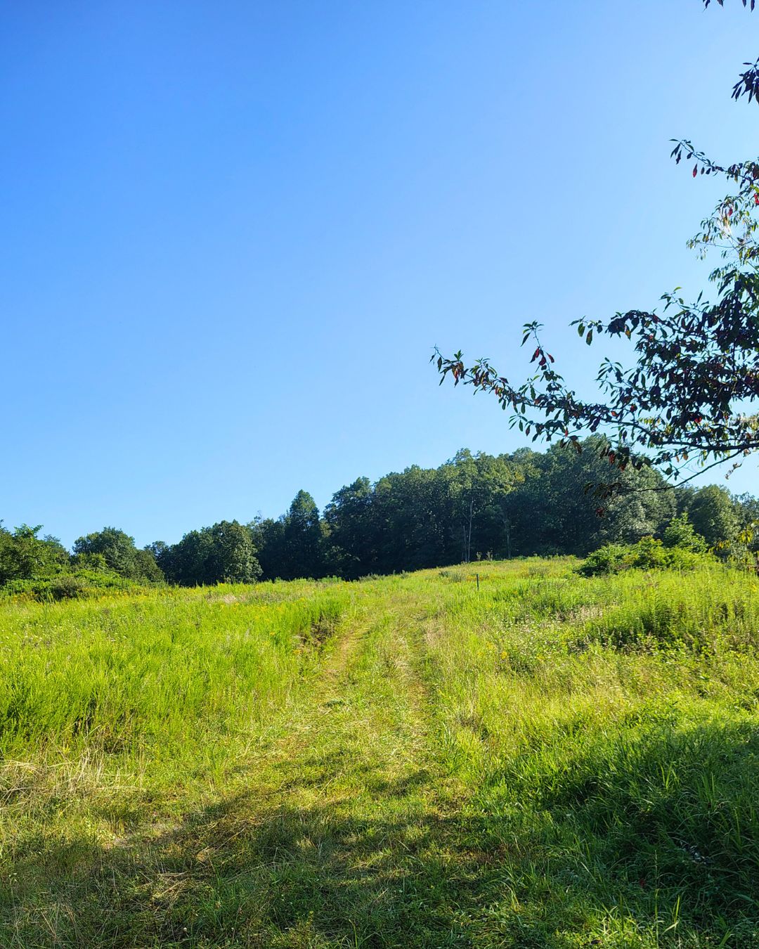
Dent Runs main purpose as a Wildlife Management Area is to preserve the area for wildlife, which is why “raw” hiking, or bushwhacking, is is permitted at the area. Hikers can expect unmarked and heavily vegetated, grassy trails with some trails that are clearer from wildlife use. While this may sound daunting to some, don’t be discouraged from visiting Dents Run. The area is truly breathtaking and while very much overgrown in most spots, visitors can enjoy walking near Dents Run Lake and other flatter, leveled areas.
IMPORTANT: This area is used for hunting. Hikers should be aware of hunting seasons and wear bright colors when out in the area during hunting seasons.
Check out the Complete Guide to Dents Run Wildlife Management Area.
Hours of Operation
Open year-round, both day and night.
Directions
Find Dents Run Wildlife Management Area on Google Maps.
Use Waze to find Dents Run Wildlife Management Area.
Parking
There are several access points to get into the wildlife area. Visitors can park near the gate just before Dents Run Lake or in the area that’s passed the gate on the left. There are a few unmarked gravel lots for parking beside or near the wildlife area.
It’s important to note that because of the area’s rough terrain and its focus on maintaining wildlife habitat, motorized vehicles and bicycles are not permitted inside the wildlife area. Plan to park in the designated parking areas and walk to your destination.
Valley Falls State Park

Hiking at Valley Falls offers something for everyone, from hikers who like to take it easy to folks who enjoy more difficult terrain. From easy paths like the Tygart River Trail (easy .6 mile out and back) to more strenuous routes like the Wild Turkey Trail (2.3 miles and extremely steep on either end) or the Rocky Trail (technical 4.1 mile loop with Red Cardinal and Rhododendron Trails), Valley Falls may just become your new favorite spot for hiking.
NOTE: Some trails are well-defined and level, while others are steep or wind through lush wooded areas, so it’s important to know exactly what you’re looking for in a hike.
Route/times
This park offers activities and beauty all year round. Gates open at 7 a.m. and close at sundown.
Directions
Get directions to Valley Falls on Apple Maps.
Find Valley Falls using Google Maps.
Use Waze to find Valley Falls.
Parking
For a downhill hike before seeing the falls, park at the top of the hill right before the gated entrance. The trails near the top include the Turkey Trot Trail and the Red Deer Trail. Winter time can mean a slippery downhill drive when you enter the state park. For safety during the snowiest days, park gates are closed, so take these trails to see snowy falls.
For more hiking, mountain biking or trail running, drive halfway down the hill into the state park. A gravel lot will be off to the left and provides access to two trailheads: Deer Trail and Red Cardinal Trail.
Curtisville Lake
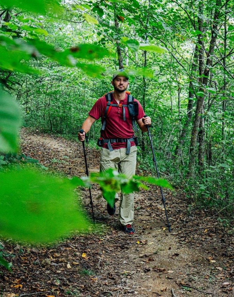
Curtisville has three hiking trails around the 30-acre lake. The trails form two loops on the hillside of the western part of the park and total more than 2.5 miles. The Ray Henderson Trail is considered moderate to difficult and spans one side of the lake to the other. Elevation reaches 1,049 feet. The other two trails are unnamed.
Times
Curtisville Lake is open year-round. Camping is permitted from April 1 through October 31 for two-week periods per person or group. Wooded areas and hiking trails are only permitted for use during daylight hours. Early July is the busiest time of year, so plan accordingly.
Directions
Directions to Curtisville Lake Using Google Maps
Directions to Curtville Lake Using Apple Maps
1131 Curtisville Lake Road, Smithfield, West Virginia 26437
Curtisville Lake is located in northern West Virginia, west of Fairmont. Access it from the campground on the northern side of the lake or a parking area on County Rt. 7/2 at the southern part of the lake
Directions to Curtisville Lake from Fairmont:
Take Route 250 North out of Fairmont towards Mannington. When you reach the Town of Mannington, take a left on Main Street. (You’ll see brown signs for Curtisville Lake.) Main St. turns into Rt. 1 and passes the Mannington Fair grounds. Stay on Rt. 1 for about 5 miles just past Logansport. Take a left on Curtisville Pike (Rt.7). Go about a mile and the lake is on the left.
Parking
Parking is available at the main entrance of the lake.
Leisure Strolls
Morris Park
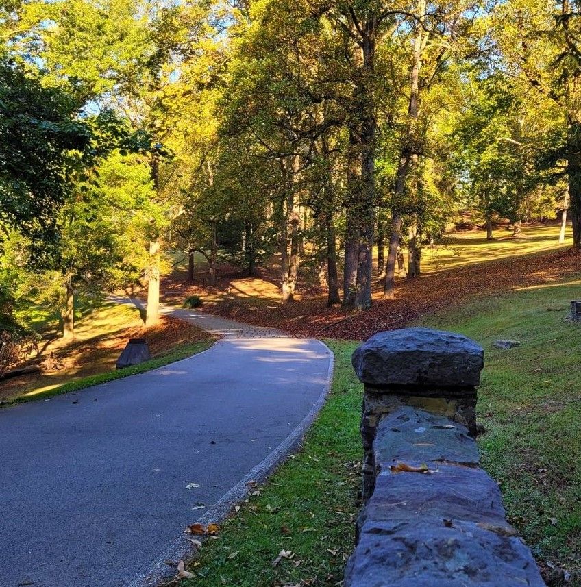
The 1.3 mile paved loop makes it the perfect location to take a solo stroll or grab your pet pal for company. Located in Pleasant Valley, the park is made up of 112 acres of wooded areas, tennis courts, playground equipment, disc golf course, basketball court and solitude.
Pricketts Fort State Park’s Nature Trail:
This short 0.25 trail is the perfect opportunity to take an easy stroll while birdwatching and identifying flora and fauna. Just off the side of the historic 18th century fort, this trail offers quiet and solitude while embracing the park’s natural beauty.
Pricketts Fort State Park on Google Maps
Pricketts Fort State Park on Apple Maps
Check out the Complete Guide to Pricketts Fort State Park.
Rail Trail System
Marion County’s rail trails are former railroad corridors/old train tracks that have been re-purposed for recreational public use. The trails are well maintained and accessible to all parts of the county. Running, walking and biking are permitted on the trails.
MCTrail and Meredith Tunnel: The 2.5-mile paved surface trail spans from Pricketts Fort State Park to the corner of Winfield Street and Morgantown Avenue. The trail features the 1200-foot-long Meredith Tunnel that stays maintained throughout the year.
Mon River Trail: Beginning at Pricketts Fort State Park (88 State Park Road, Fairmont, WV), with three miles of packed limestone surface, this trail extends almost 15 miles into Monongalia County.

West Fork River Trail: The trail is 14.5 miles of paved surface and features three bridges – 510 feet at Everson and 200 feet at Monongah. This provides access to the river and various beaches throughout the entire length of the trail. Road access is at U.S. Route 19, with endpoints at Shinnston and Fairmont.
Trailheads:
Sue Ann Miller Trailhead – West Fork River Trail
(Mile 0, Lat. 39.39394, Lon. -80.30614)
Hutchinson Trailhead – West Fork River Trail
(Mile 4.5, Lat. 39.44206, Lon. -80.27537)
Worthington Trailhead – West Fork River Trail
(Mile 5.3, Lat. 39.45002, Lon. -80.26568)
Everson Trailhead – West Fork River Trail
(Mile 8.5, Lat. 39.44853, Lon. -80.24490)
Monongah Trailhead – West Fork River Trail
(Mile 10.5, Lat. 39.46183, Lon. -80.21436)
Mary Lou Retton Park Trailhead – West Fork River Trail
(Mile 12.9, Lat. 39.47087, Lon. -80.18729)
Joel McCann Memorial Trail: Located in Mannington with a little over a mile of limestone trail, this trail links to the North Marion Senior Center walking path and crosses through the historic downtown.
Joel McCann Memorial Trail on Apple Maps